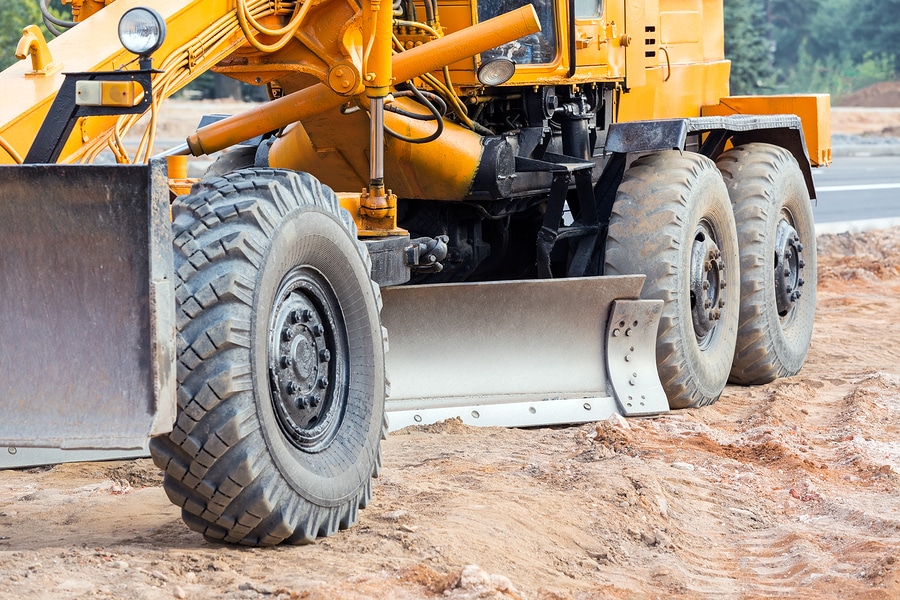
The time saving and therefore economic benefits of GPS machine guidance for civil works can be enormous. The technicalities in GPS data accuracy and quality assurance mean it should always be prepared and monitored by a qualified Surveyor.
GPS Machine Guidance Surveying involves the preparation of design plans and Digital Terrain Models (DTM) for proposed surface regrading and civil works on MGA coordinates and Australian Height Datum (AHD) levels for use with GPS machine guidance equipment.
Our team of qualified Surveyors create surface models and designs tailored to the specific cut/fill, volume and soil importation/exportation needs of our clients. We utilise the latest software to provide data in easy to read plans and a file format suitable for direct upload to machine guidance equipment.
The Process
- Detail Survey and calculations to create new design surface and features (if required)
- Conversion of data to format suitable for upload to machine guidance equipment
- Placement of control points and localisation of client GPS equipment (if required)
Using GPS Machine Guidance equipment? Think SurveyPlus.
Complete your details here for a free quote.