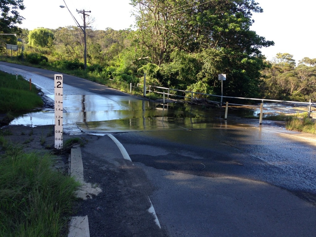
An hydraulic survey shows built or natural features and hydraulic/drainage structures in an area to allow engineering, design or analysis to be undertaken.
The amount of information shown is dependent on the requirements but can include the location of stormwater pits, pipes, invert levels, pipe sizes and grades, overland flow paths, mean high water marks (MHWM), natural watercourse location and contours. Flood studies are a common type of hydraulic survey.
Development in low-lying land, in the vicinity of watercourses, adjacent to harbour or river foreshores or within a catchment area, may require a hydraulic survey or flood study.
We tailor all surveys to meet your specific needs. We provide easy to read plans and well-structured DWG/CAD files. Plans of your site can be prepared in 2D or 3D and can be provided in PDF and electronic CAD format. We can also provide TIN (triangle) files for direct importation into engineering and drainage design software.
Thinking Hydraulic Surveys and Flood Studies? Think SurveyPlus.
Complete your details here for a free quote.