Crown Land, Lower Portland & Blaxlands Ridge
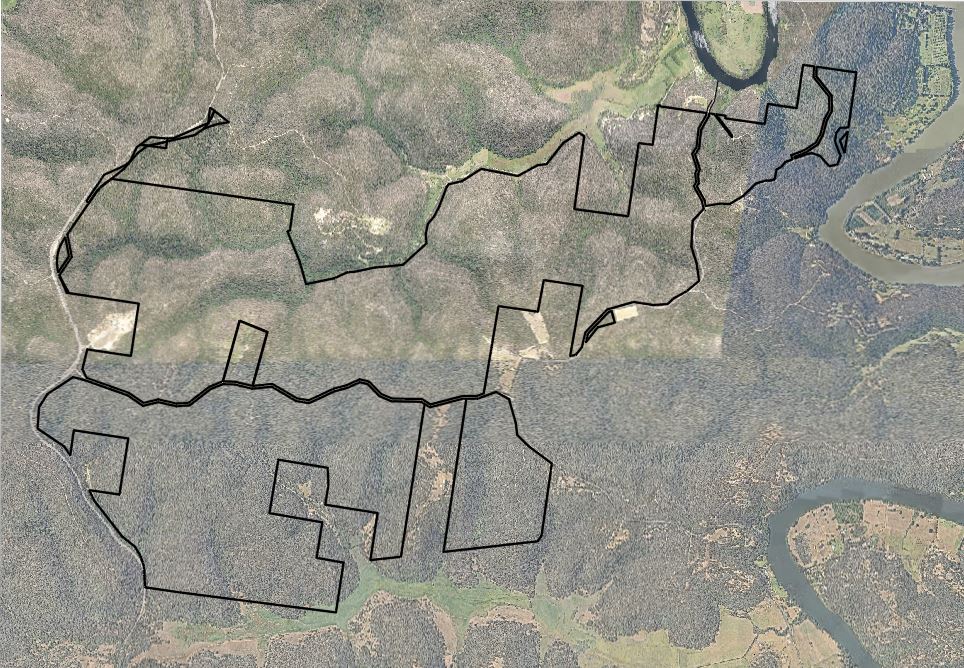
Cadastral Survey and preparation of a Plan of Subdivision of a large area of Crown Land at Lower Portland and Blaxlands Ridge
Our services include:
- Plan, Parish Map, Gazettal and Title search to obtain historical boundary information.
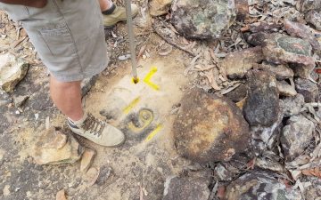
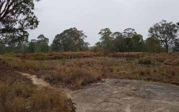
- Field survey in remote area to locate historical boundary marks and reference marks.
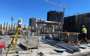
- GNSS survey to connect to coordinated state survey marks.
- Calculations and lot boundary definition.
- Preparation of plan of subdivision and 88B instrument.
- Plan lodgement and registration using ePlan.

